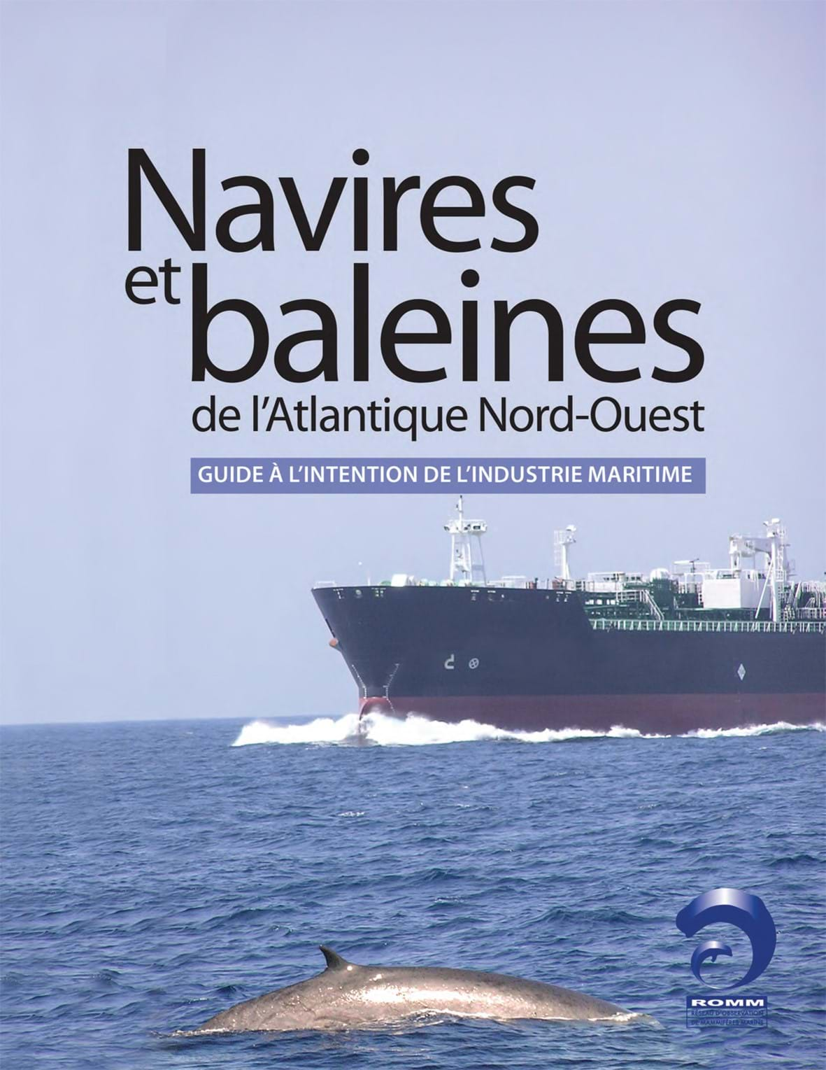
A mariner’s guide to whales in the Northwest Atlantic
Commercial shipping plays a crucial role in the economy of the Northwest Atlantic region by carrying raw materials and manufactured goods on both an import and export basis. However, the Northwest Atlantic is also home to many species of marine mammals that can negatively be affected by the repeated passage of commercial ships. Unlike many areas in the world, there was no comprehensive data set that included information about both vessel transits and whale sightings. The Shipping Federation of Canada, Dalhousie University and the Marine Mammal Observation Network therefore joined forces to create a comprehensive map of the Atlantic Northwest incorporating as much whale and vessel data as possible. The project’s objectives were to identify the species of whales most affected by vessel activity, pinpoint where the highest densities of whales occur, as well as to clearly relate what mariners should know about whales and their behaviour and whom to contact in the event of a ship strike.